Sunday and Monday were two long days and overwhelming. We made the four and a half hour ride to Yosemite Park and stayed over a night in the charming little town of Mariposa. Arriving at the park in the afternoon, we did a cursory check of the valley and then picked locations for closer viewing the following day. We couldn't help but stay longer than planned on Monday and had to ride into dark returning to our booked rooms back in San Fran.
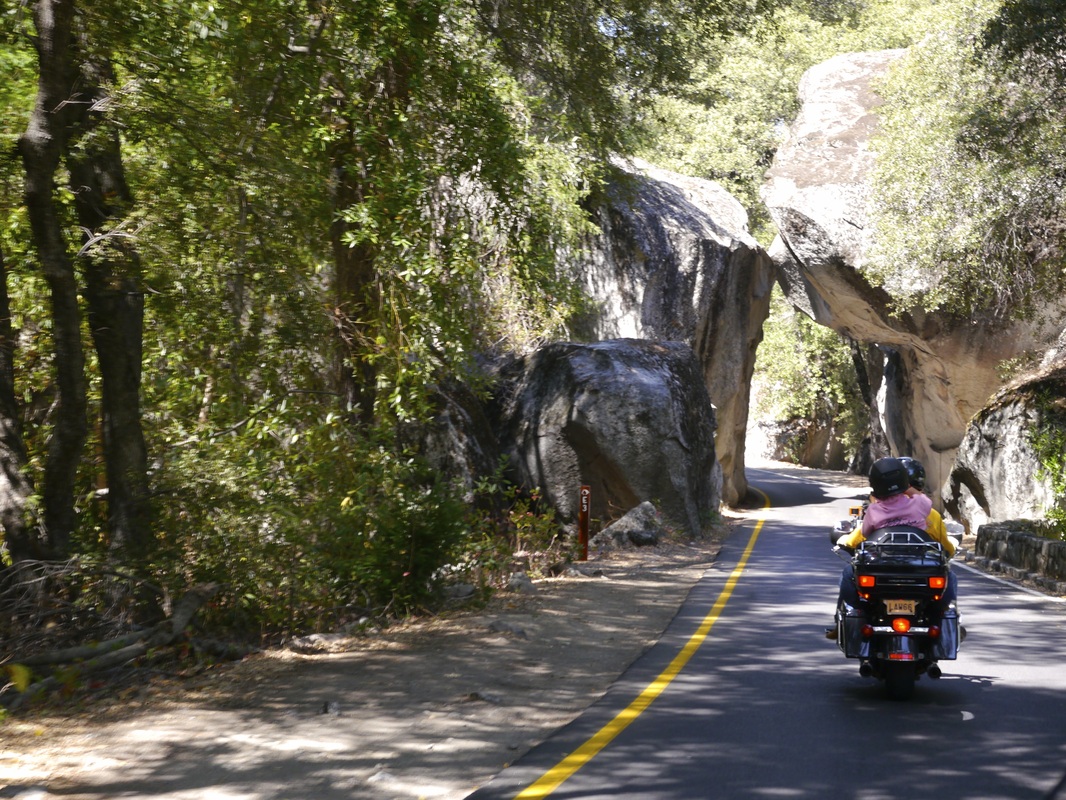
Arriving in the park by the center route, called the Arch Rock Entance
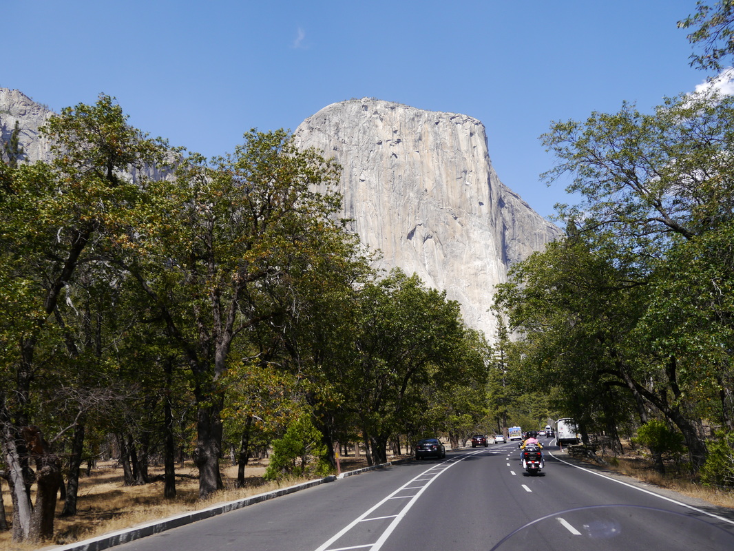
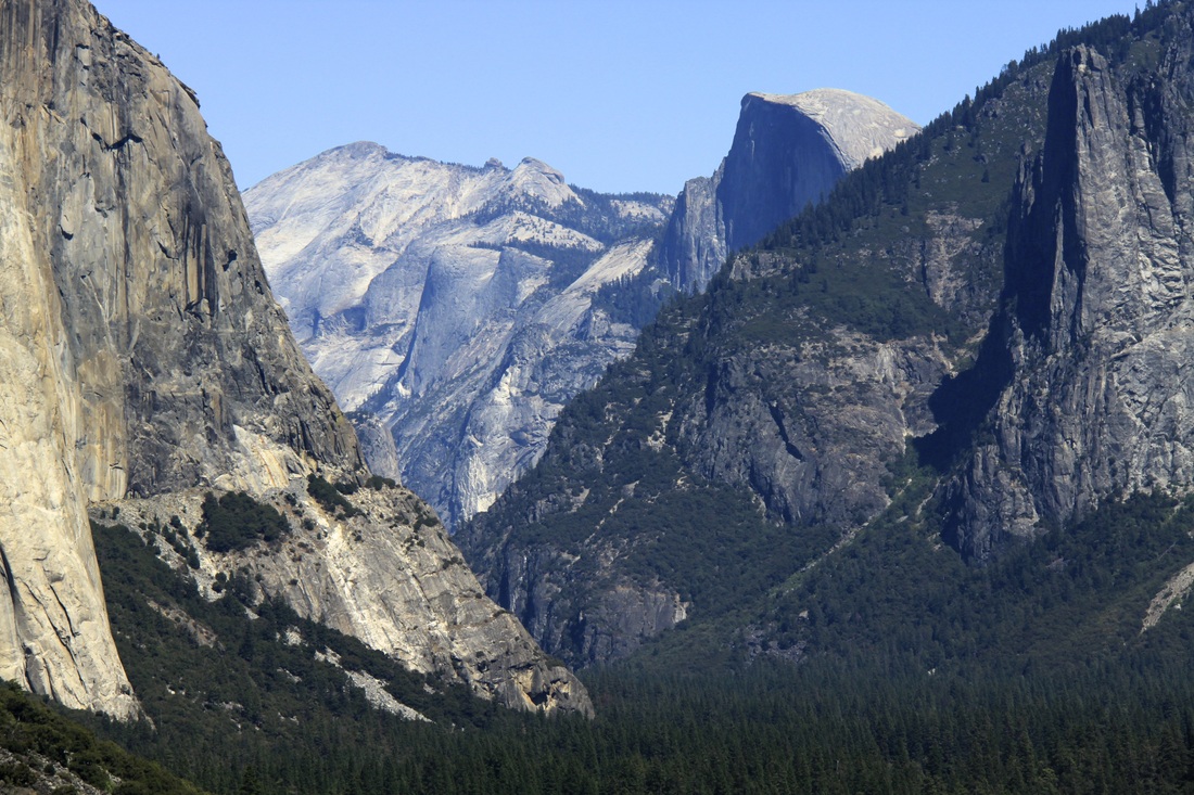
First view of El Capitan upon entering the Valley Floor.
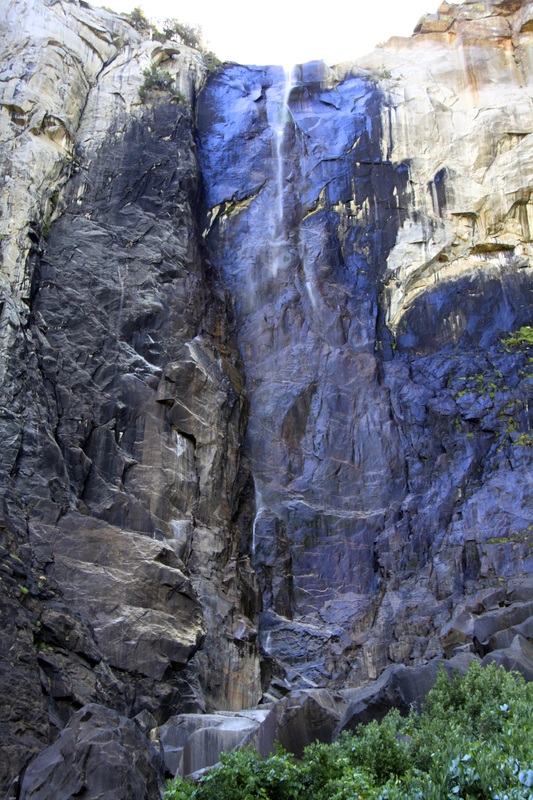
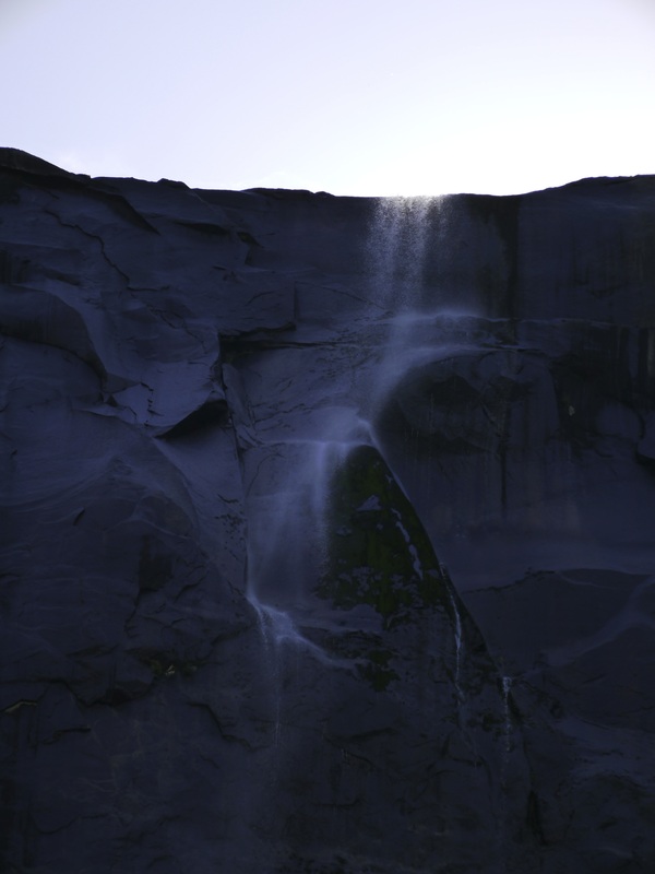
Unfortunately in August, only three of numerous waterfalls have flowing water. It was still special to see Bridalviel not much more than a trickle, but still awesome to photograph. The second picture below taken by "Preacher" turned out a special.
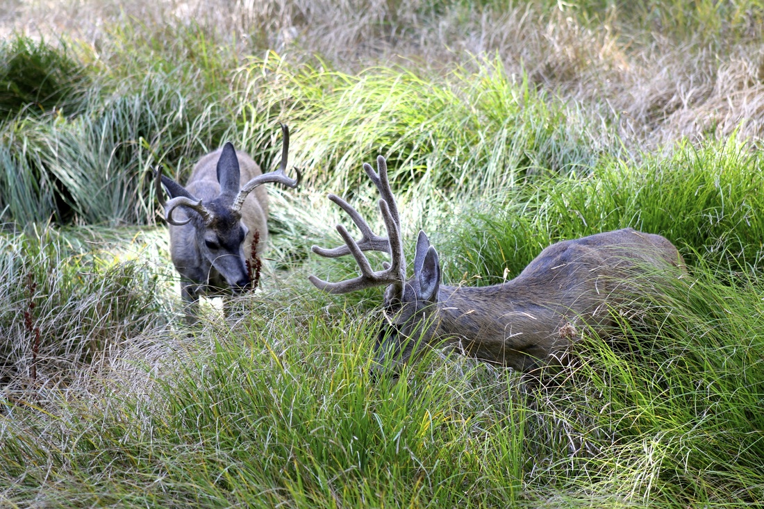
Lots of wildlife in the valley, including bears and mountain lions. Feeding of any animal or bird is forbidden and strictly enforced. Minimum fine $5,000.00
The famous Half Dome in the background
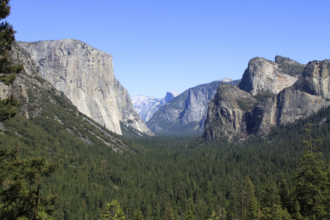
A full picture of the Valley Floor. The park roads, transportation systems, village, lodges, museum, camp grounds and parking areas are hidden by the vegetation.
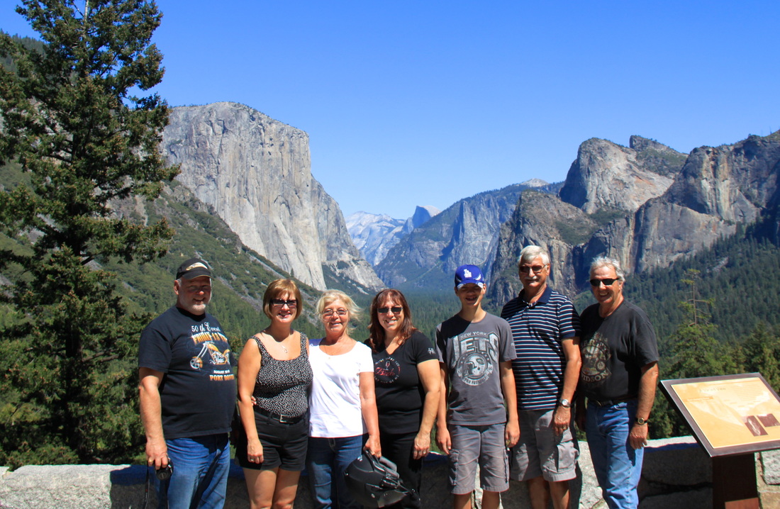
The location of our last view of the valley before we had to depart. This is the first view for visitors arriving by the south entrance as they exit a long tunnel. What an impression it provides either departing or arriving. We were thankful we came across it on our way to future adventures.
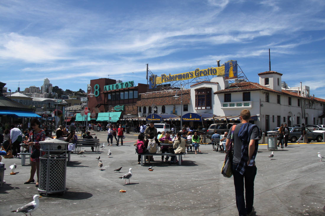
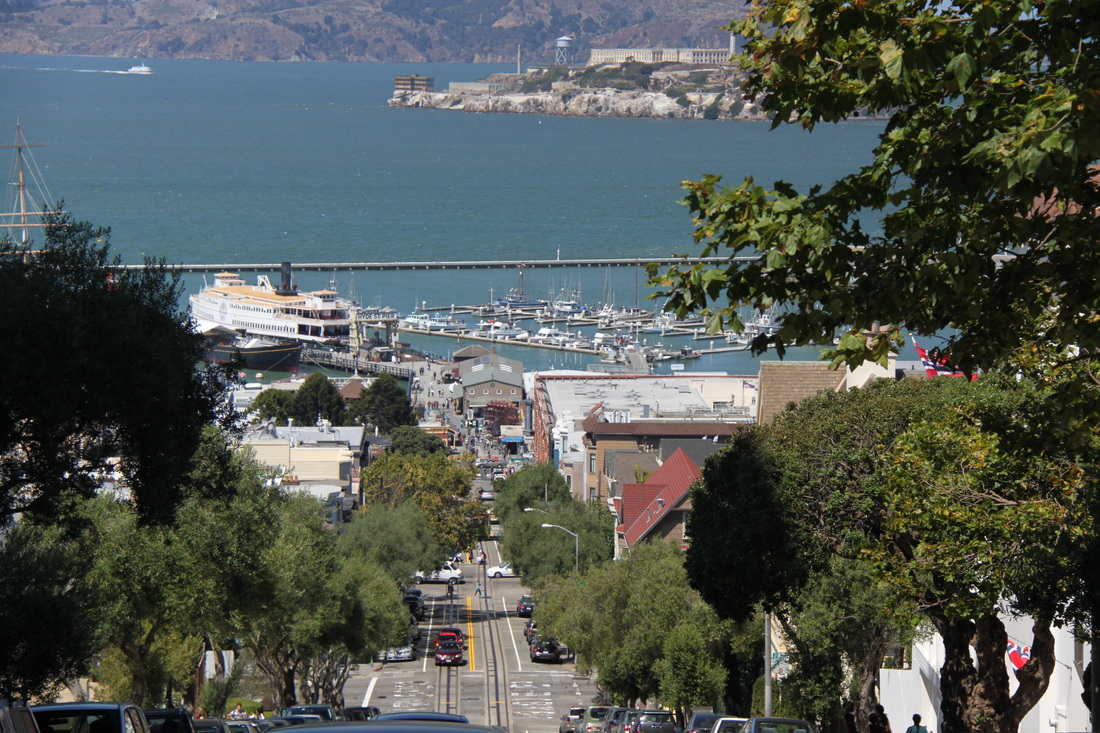
Hanging around Fishermen's Wharf and Pier 39.
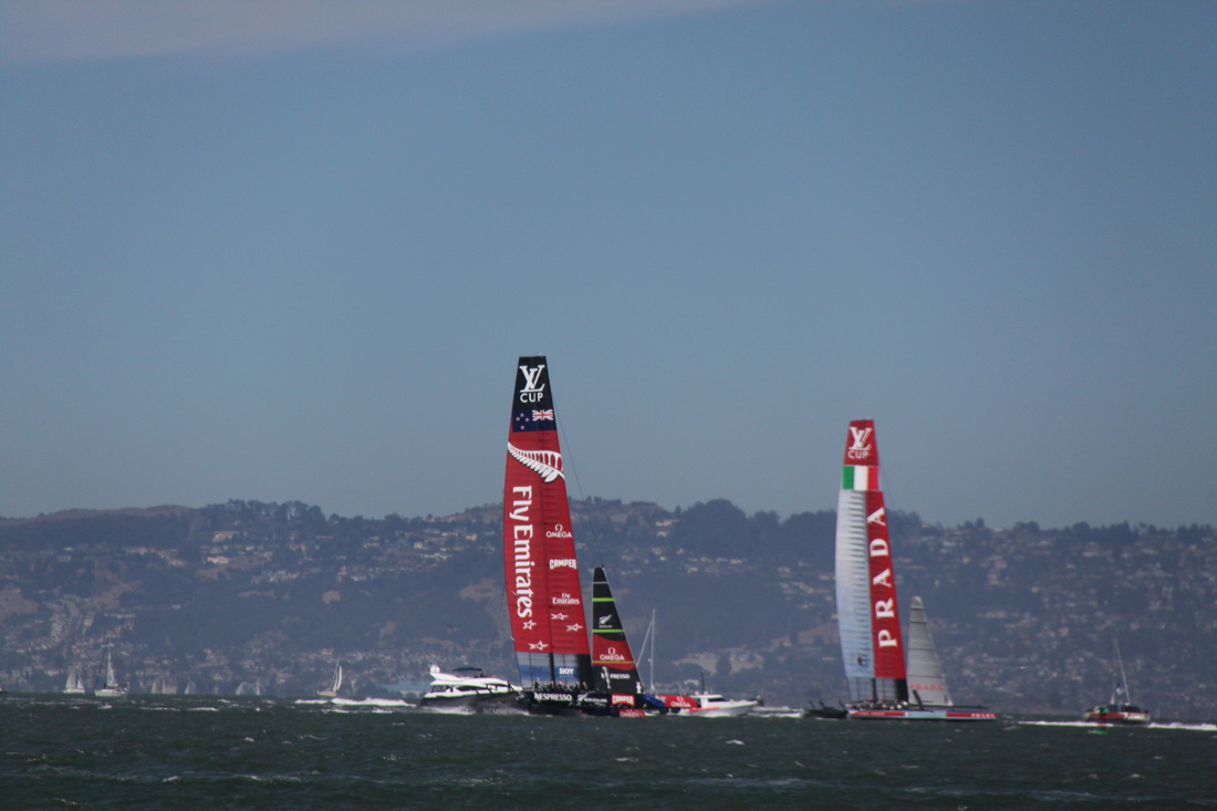
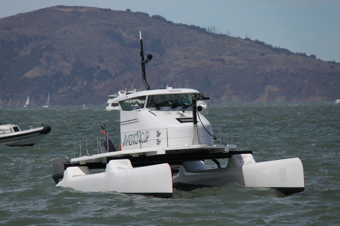
America's Cup racing is on during the month of August.
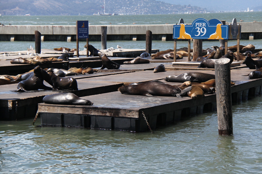
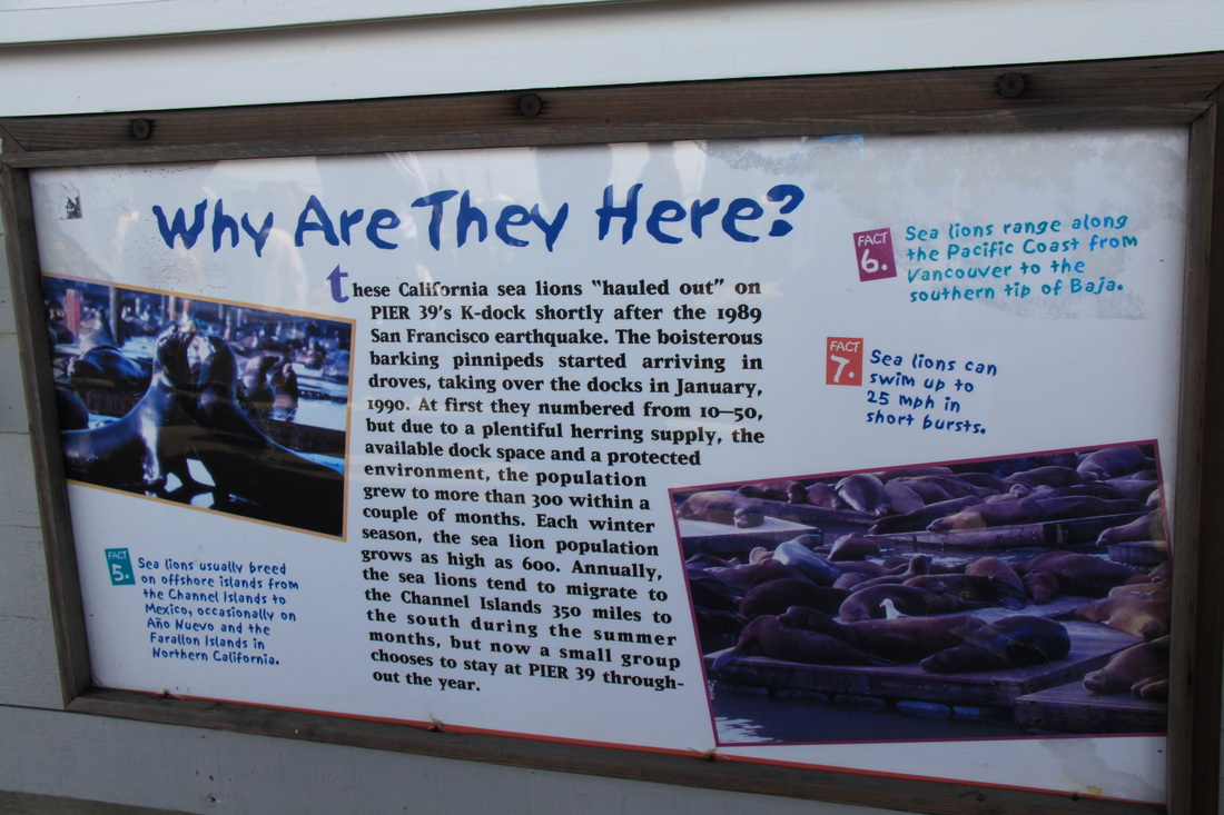
Seals have their own wharf
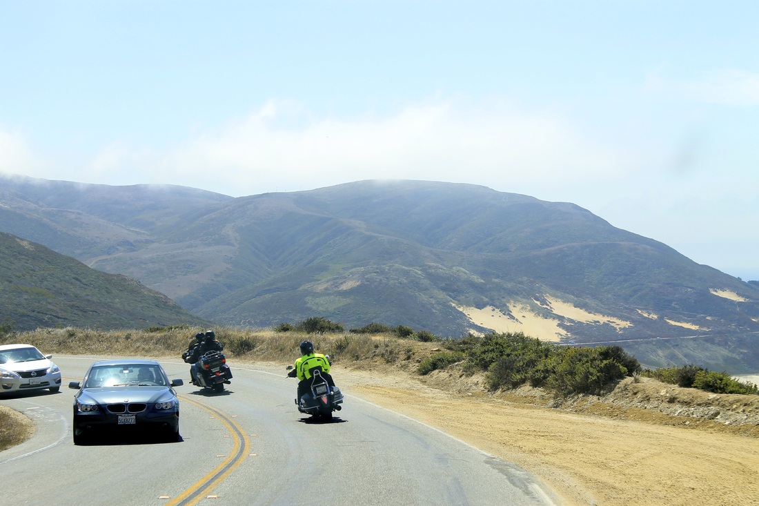
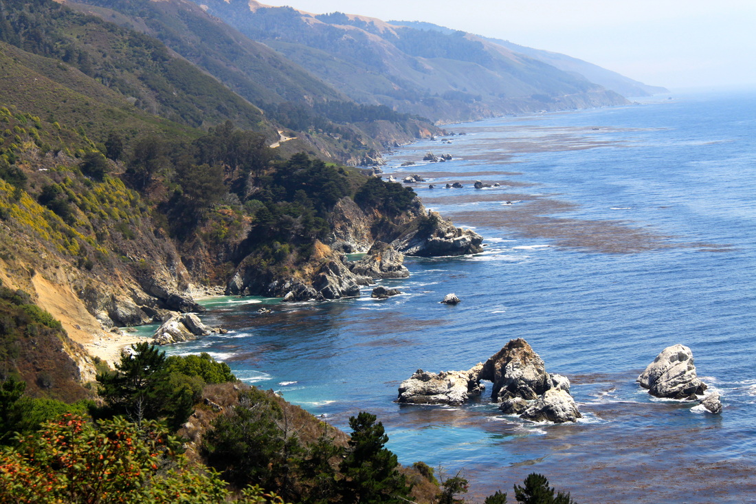
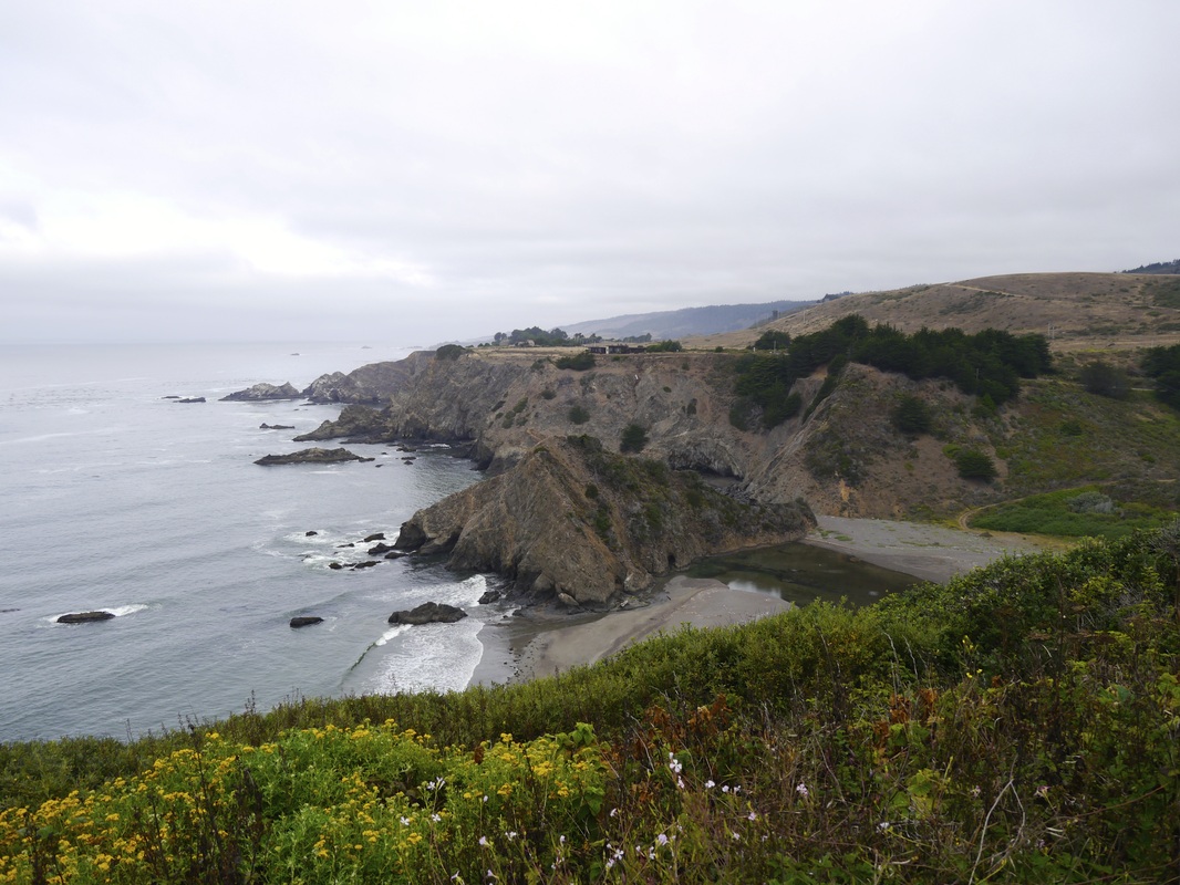
You can't go to California without checking out the coast of Big Sur. The day ride from San Francisco passed through the agricultural valley of Monterey and the spectacular homes with views in Seaside and Carmel by the Sea.
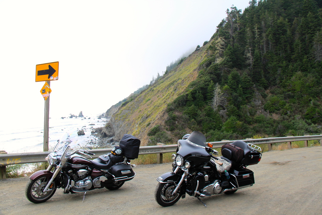
The pic of our two bikes approaching Big Sur was taken by the co-pilot "Braeden" of our support vehicle.
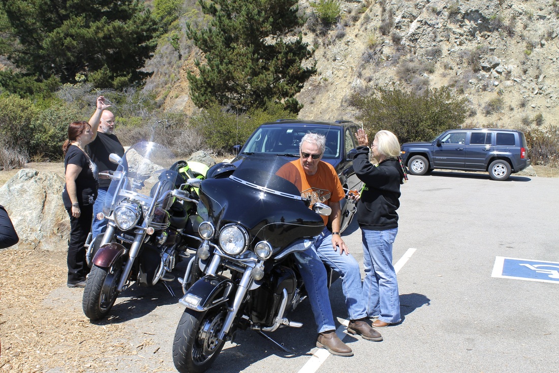
New hand signal communication being developed.
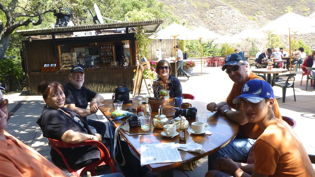
Lunch at "Nepenthe" on Big Sur.
Coastal view.
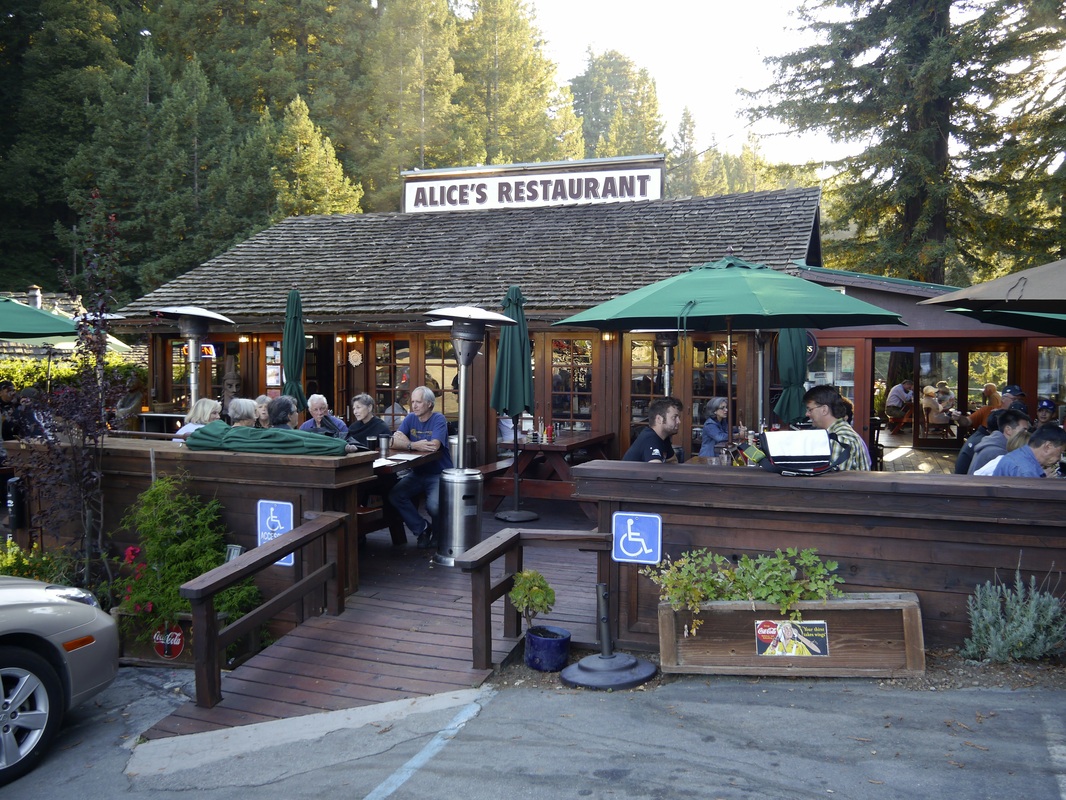
On the way home from a full day tour we had to fill up at famous "Alice's Restaurant".
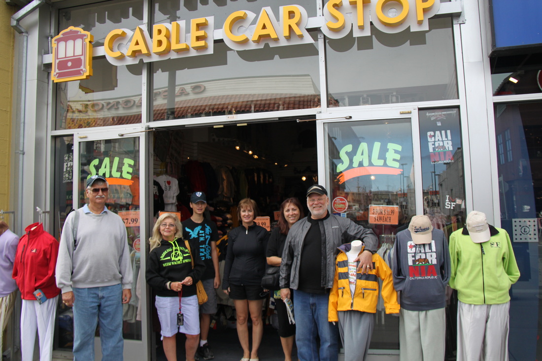
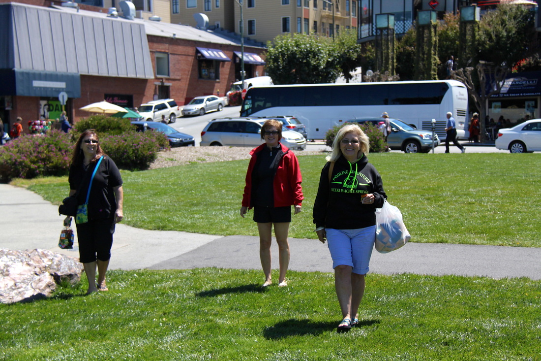
What's the first thing the girls want to do, yep shop. Fisherman's Wharf, historic and bustling. Lot's to see and do.
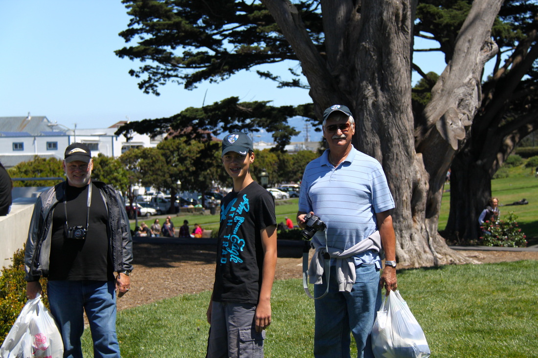
The guys waiting in the park and carrying the shopping cache.
The girls return with more goodies, some of it chocolate.
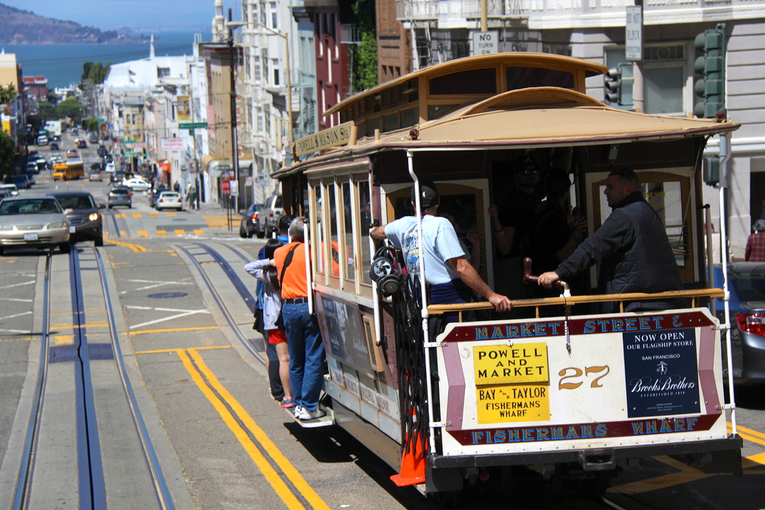
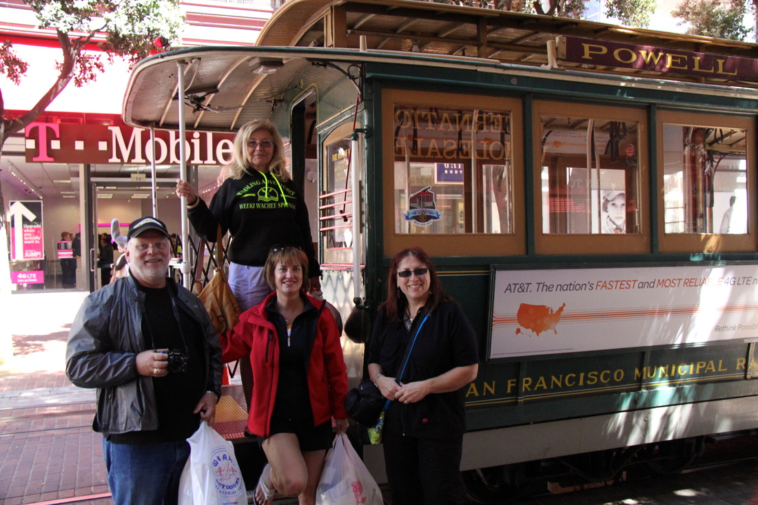
Taken from the rear of the cable car climbing the hill and returning to Union Square.
Disembarking from a historic ride
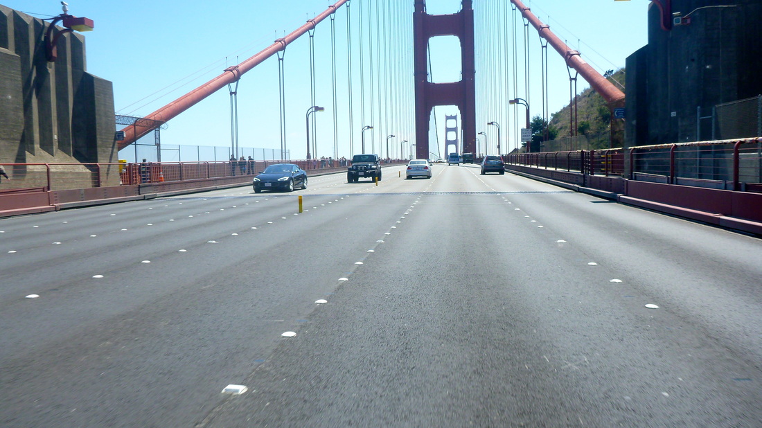
Today was more of the northern California coast and then across the Golden Gate Bridge into San Francisco. WOW, what a view of the bay and the city. We couldn't believe the amount of sight seeing public on foot, walking across the bridge. We arrived at our hotel and got settled in before "Chaz", our missing mate, his son Braeden, and the wives arrived to see the sights of central California with us.
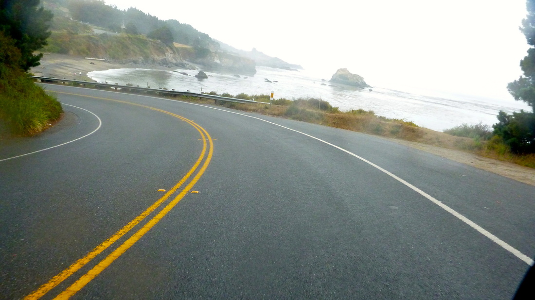
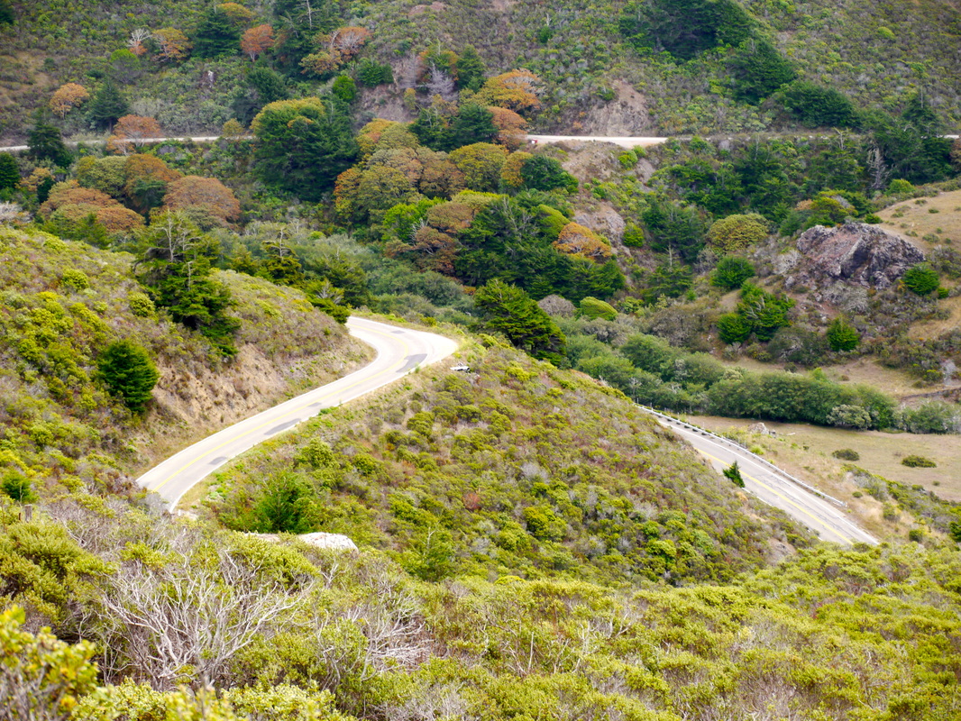
Lots of tight twisty roads on the coast..
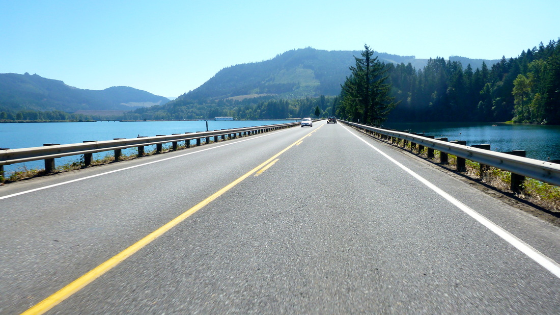
Moving away from the coast we were back under sunny skies, good roads and moderate traffic moving orderly. Beautiful scenery, mountain lakes glistening.
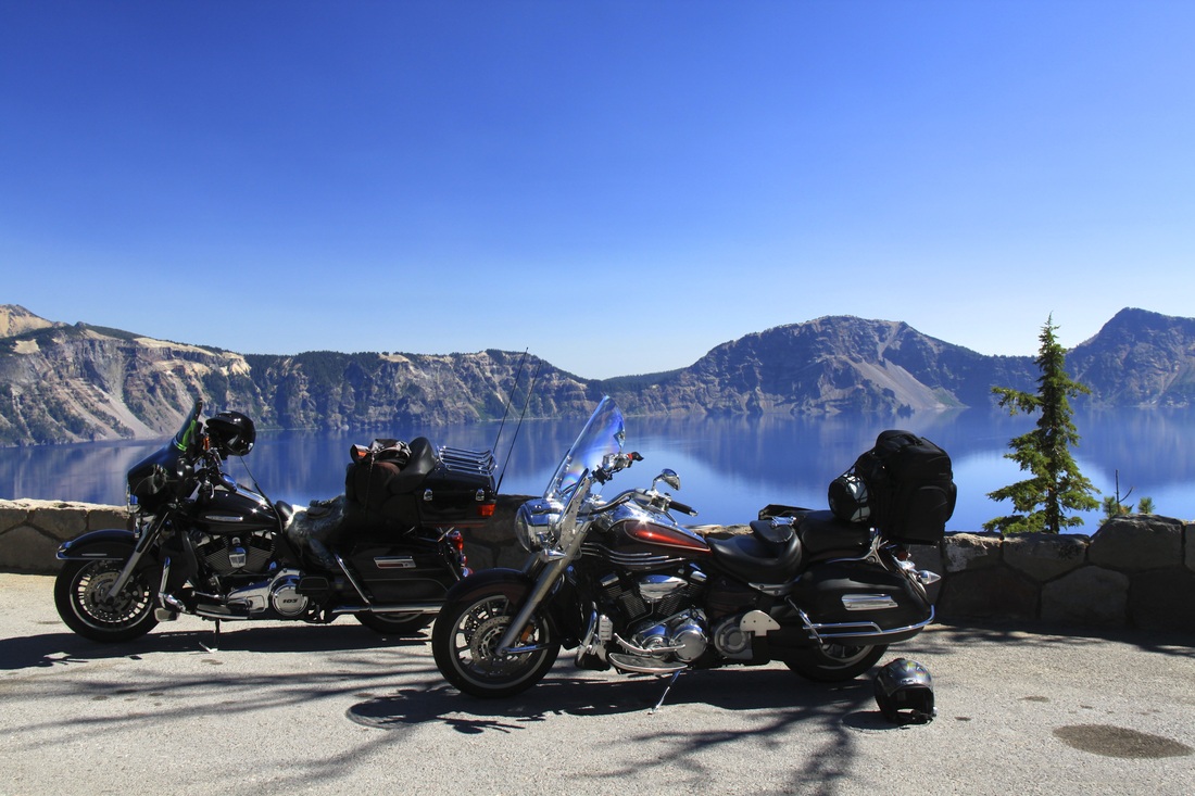
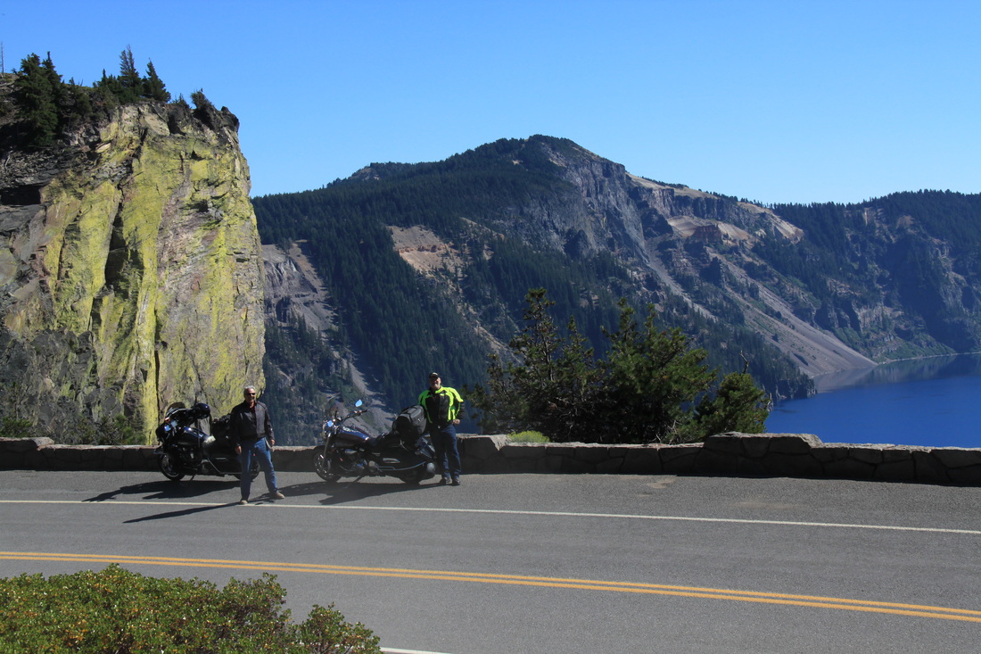
Crater Lake. A violent eruption transformed into an awesome wonder.
This experience will be a major highlight of out trip.
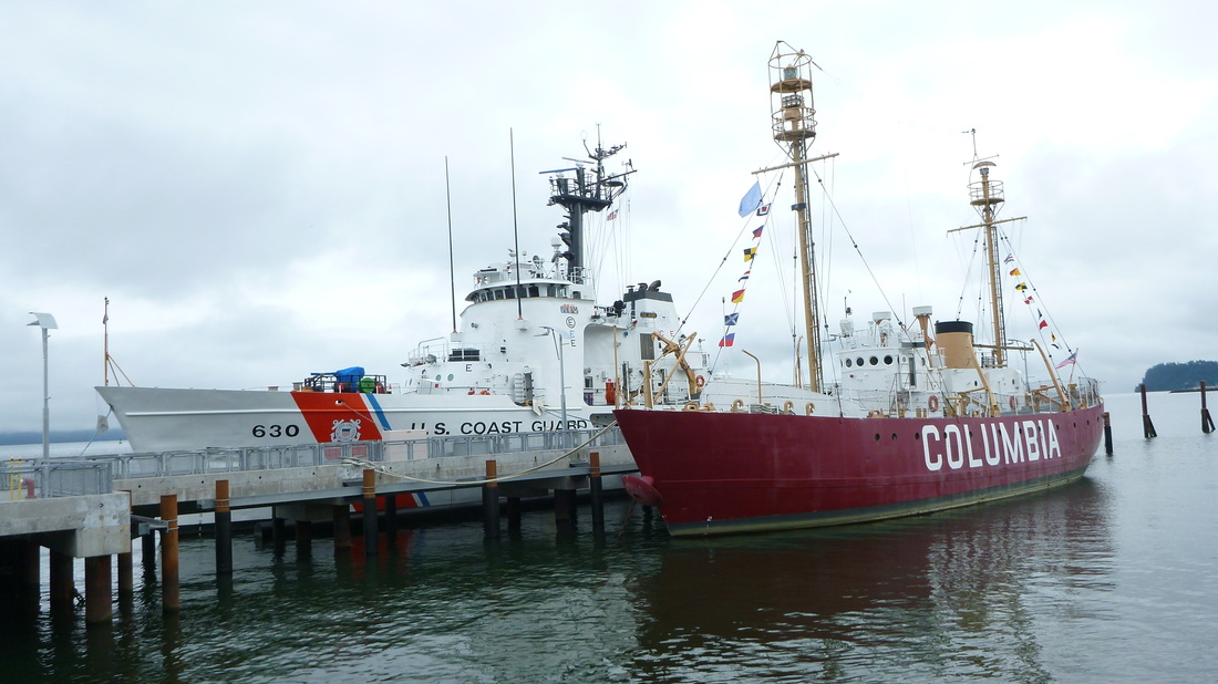
Saturday morning we arrived in Astoria,Oregon at the mouth of the Columbia River. First stop was the Columbia River Maritime Museum. Since the arrival of the Lewis and Clark expedition in 1803 this area became a significant port on the west coast, but also one of the most dangerous.
Fort Astoria and the Columbia Port was a significant location involved in the War of 1812 and involved the "North West Company" and "Hudson's Bay Company"
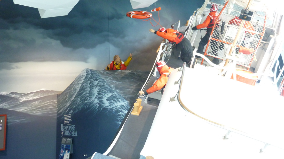
A mock-up display of a coast guard rescue in rough seas.
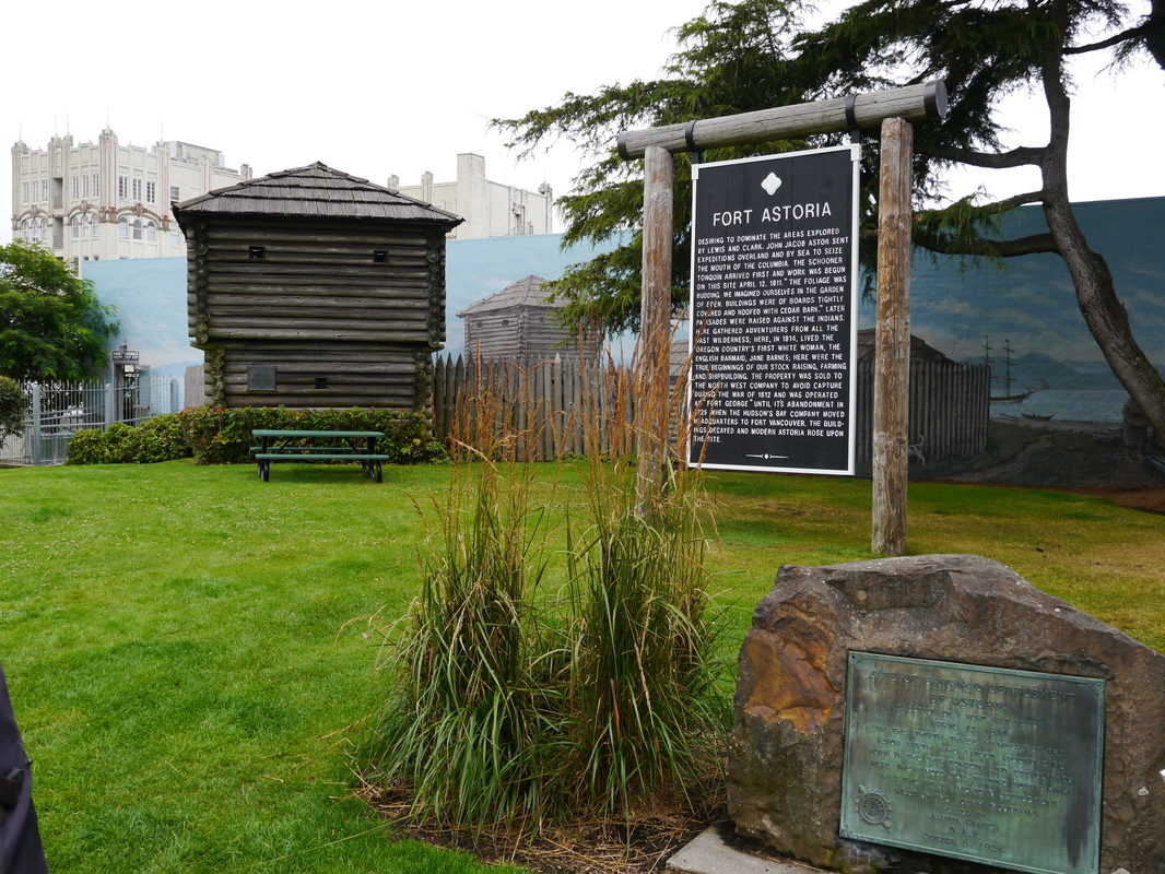
Location of Fort Astoria.
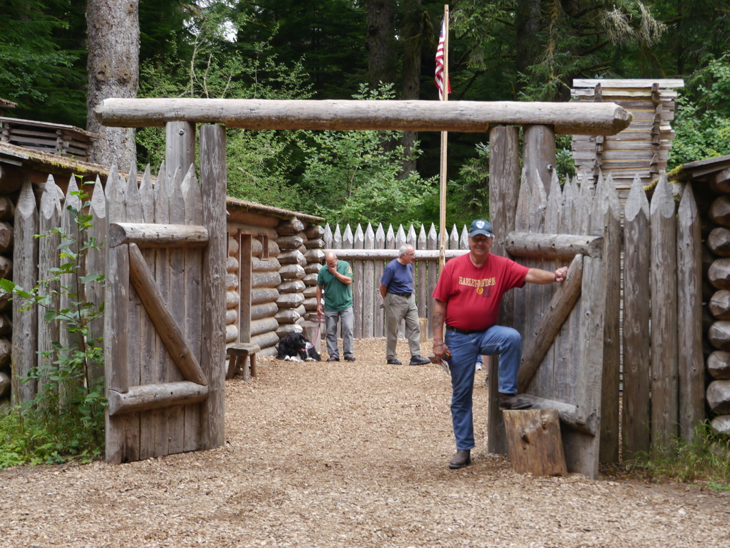
Lewis and Clarks "Fort Clatsop" winter encampment for the season 1803/04
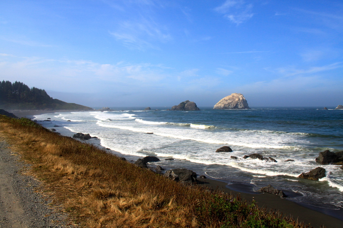
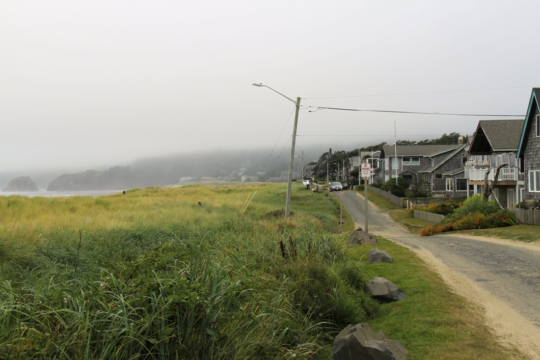
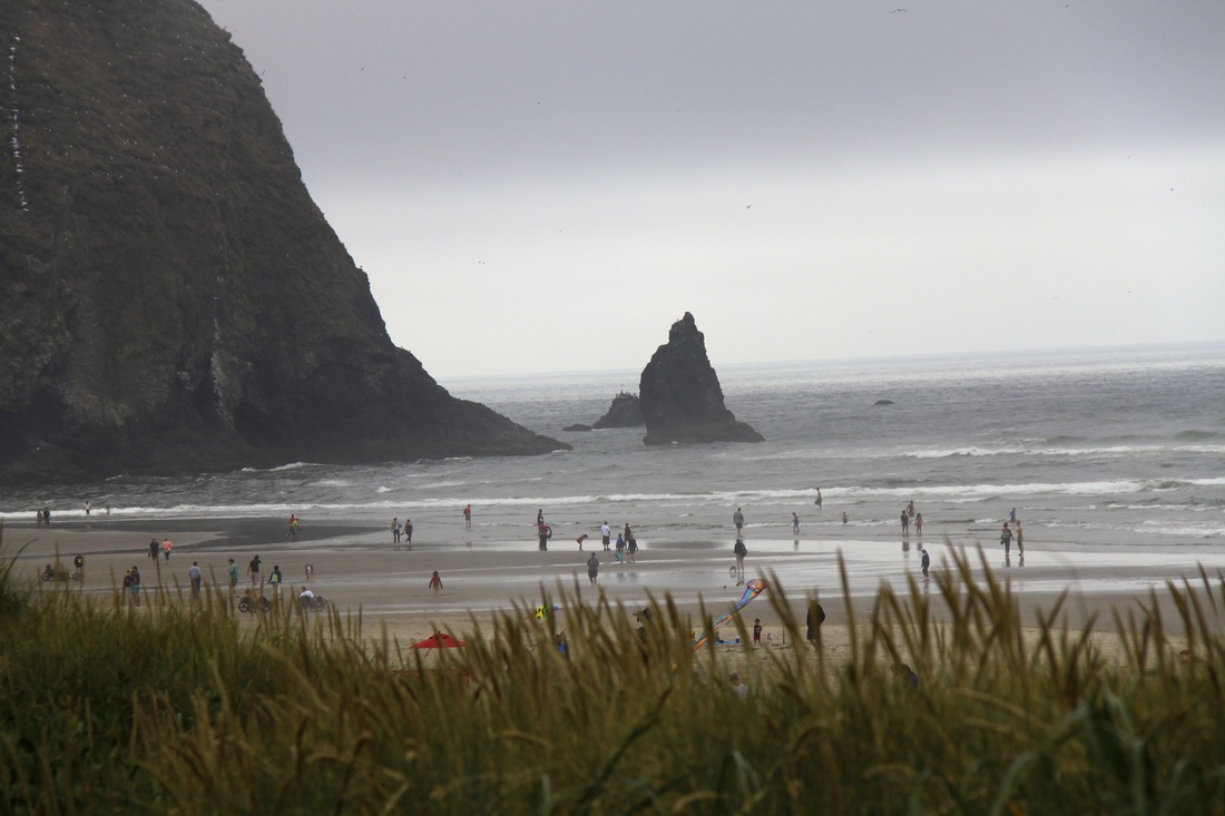
Disappointment! Southbound on the Oregon coast it was overcast, misty, heavy traffic,
congested and very little view of the shoreline. These pictures were taken from a restricted residential area, no parking etc.
The entire coast lodgings were fully booked. We had to travel an hour inland.

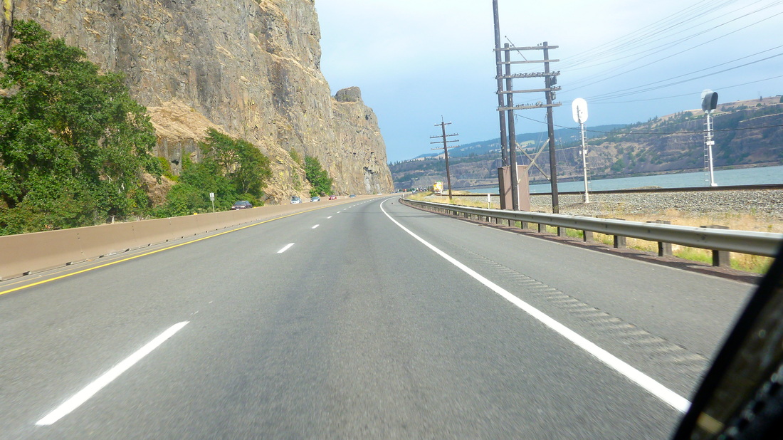
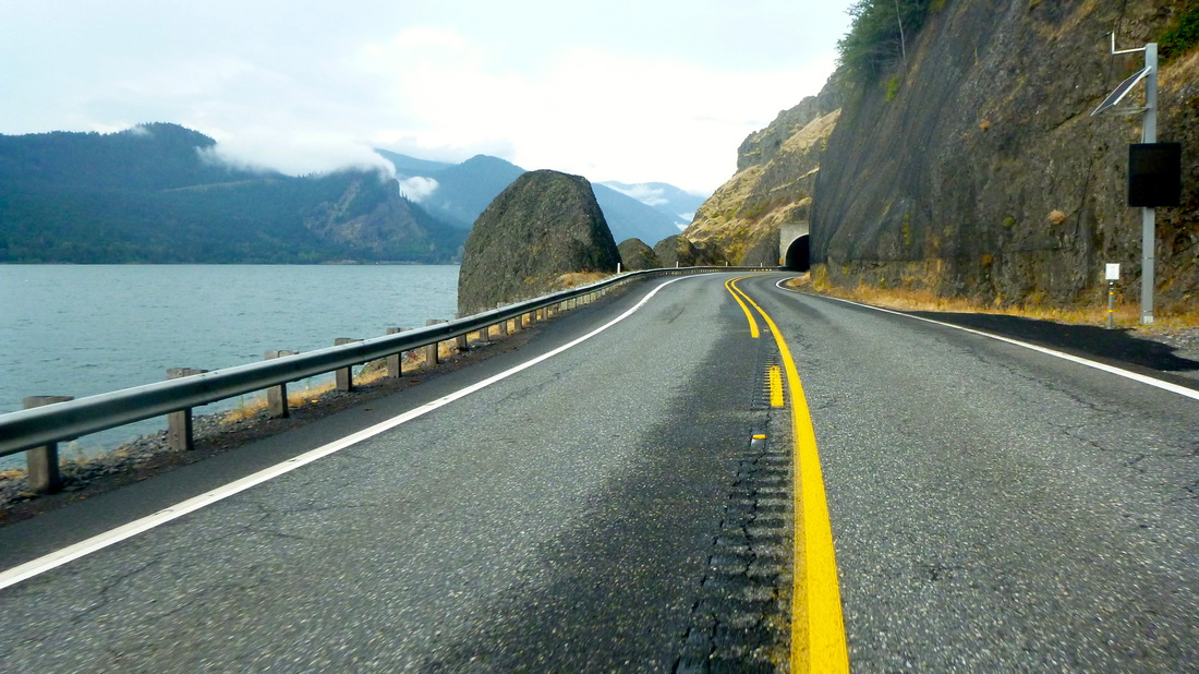
After doing the north side of the Columbia on Thurs. and crossing to stay in The Dalles, we started out west on the south side and deeper into the Columbia Gorge. It appears westbound trains travel on the north side of the river and eastbound on the south.
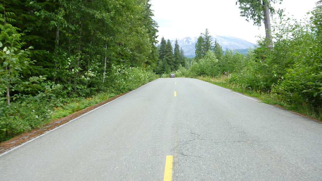
We returned then to the Washington side for a route north to Mt. St. Helen's. We had to visit the mountain that we remembered erupting in 1980. The road on the north side of the Columbia Gorge has numerous tunnels.
Heading into wilderness territory of Washington with Mt. St Helen's in the distance.
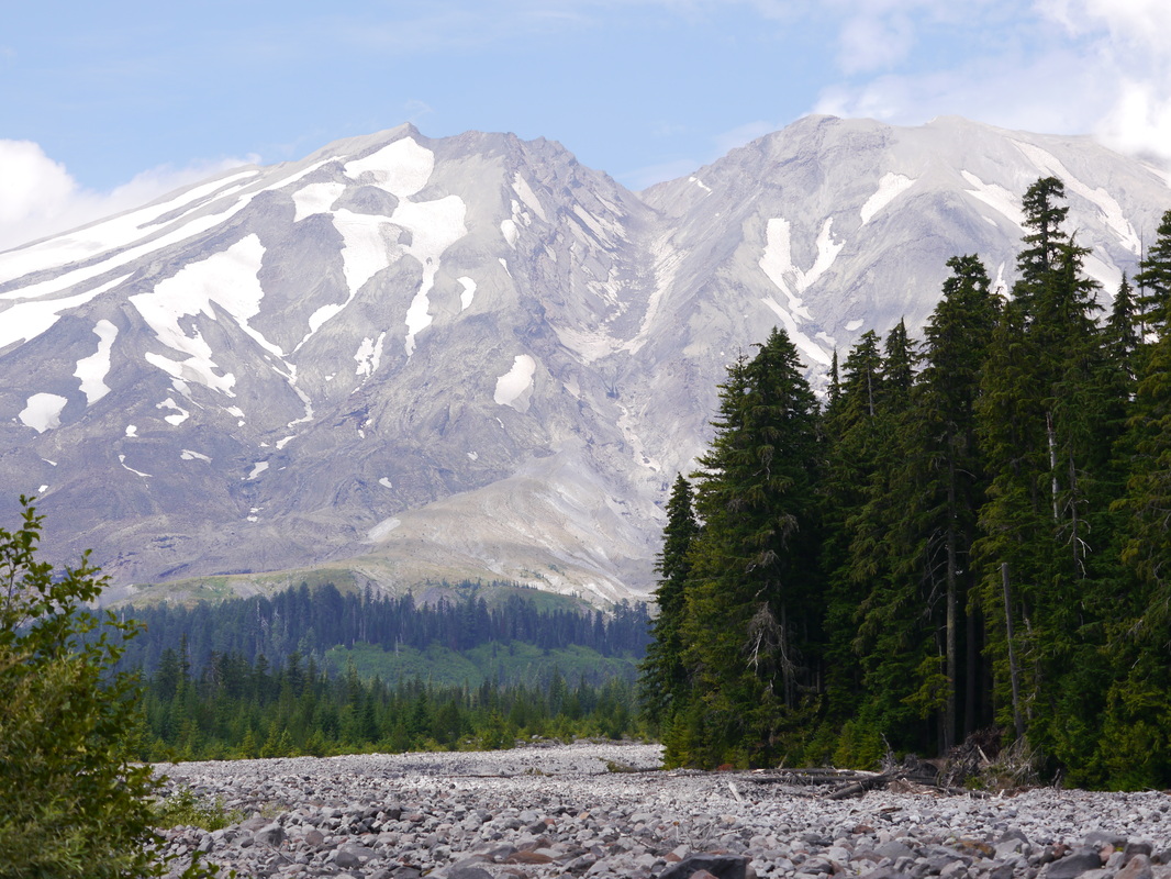
South face of Mt. St Helen's with a rock and tree debris swatch that uncovered evidence of previous volcanic activity.